Helicopter and fixed-wing
Aerial photography
We capture high-resolution aerial imagery using fixed-wing aircraft and helicopters. Ideal for real estate marketing, construction progress, and large tracts of land, each mission is meticulously planned and flown.
A drone is the right tool below 400 feet. Above that, and across anything larger than a single parcel, it is an aircraft. We have flown both since 1987, so the platform gets chosen to suit the site rather than to suit what happens to be in the van.
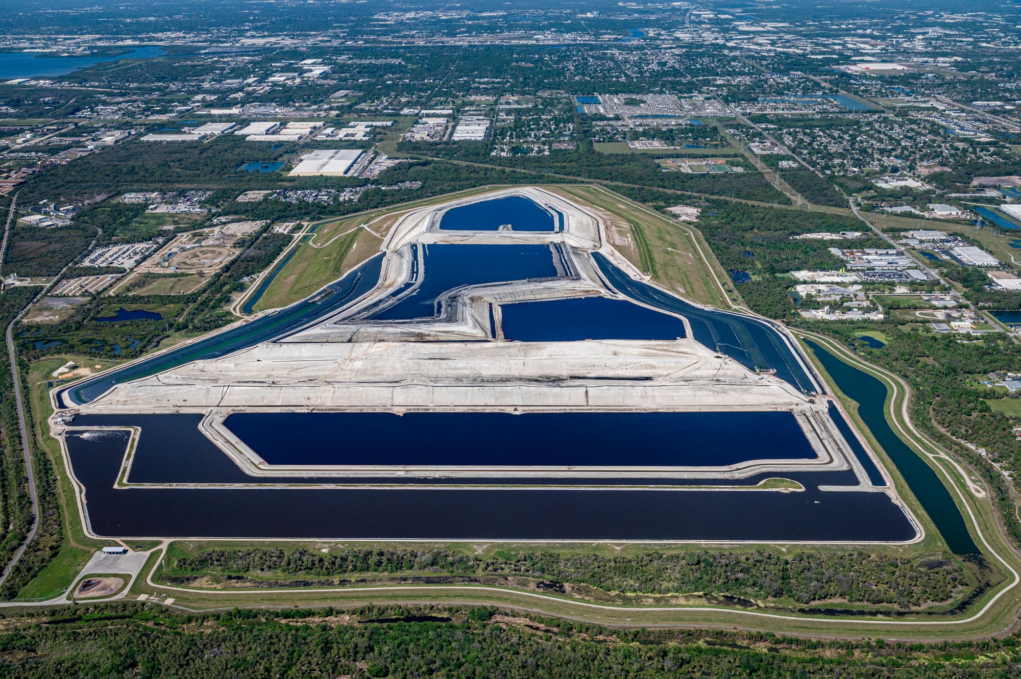
How we shoot it
Helicopter
The workhorse for oblique angles and tight positioning. A helicopter can hold a position, work a site from several headings in one visit, and get low over a subject that a fixed-wing pass would cross in seconds.
Fixed-wing
The economical choice for altitude and for covering ground. Large tracts, long corridors, and whole-development context shots are all cheaper and sharper from a plane than from anything that has to hover.
Scheduled monthly flights
We already fly the Tampa Bay region on a monthly cycle. Adding your site to an existing flight is the least expensive way to buy aerial coverage, and it is how most progress sets are shot.
Planned to the frame
Sun angle, approach heading, and altitude are decided before the aircraft leaves the ground. That is what the word meticulous is doing in the line above, and it is the difference between a photograph and a snapshot taken out of a window.
Drone or aircraft
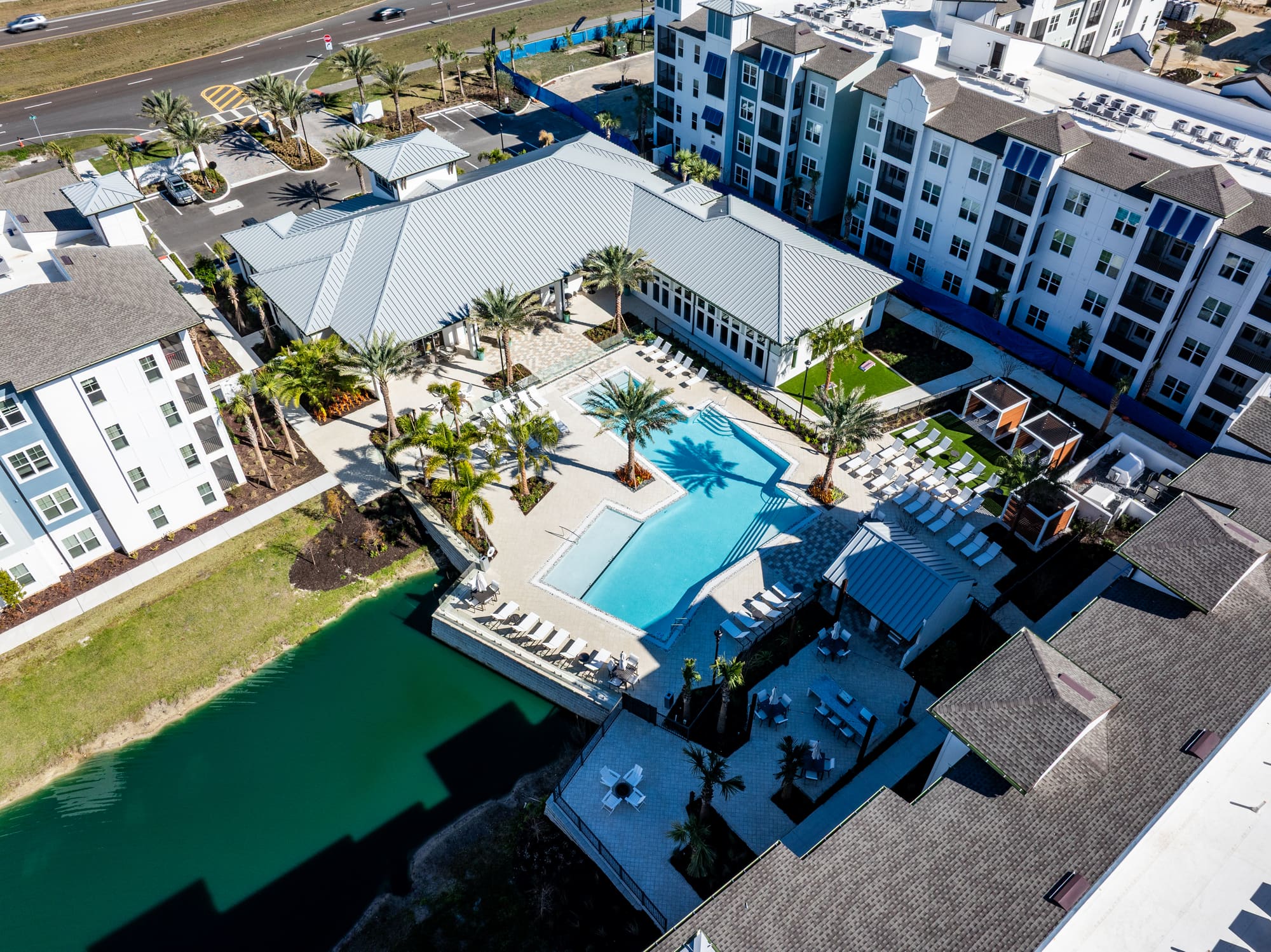
Two frames over similar neighbourhoods: one from a drone at 400 ft, one from a fixed-wing aircraft at 1,500 ft. Altitude decides how much of the area fits in one frame.
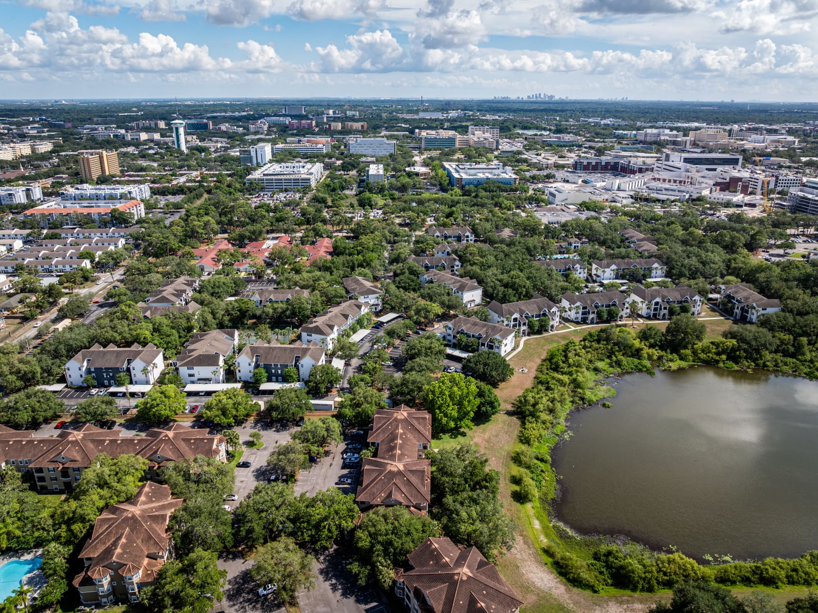
Drone, 400 ft 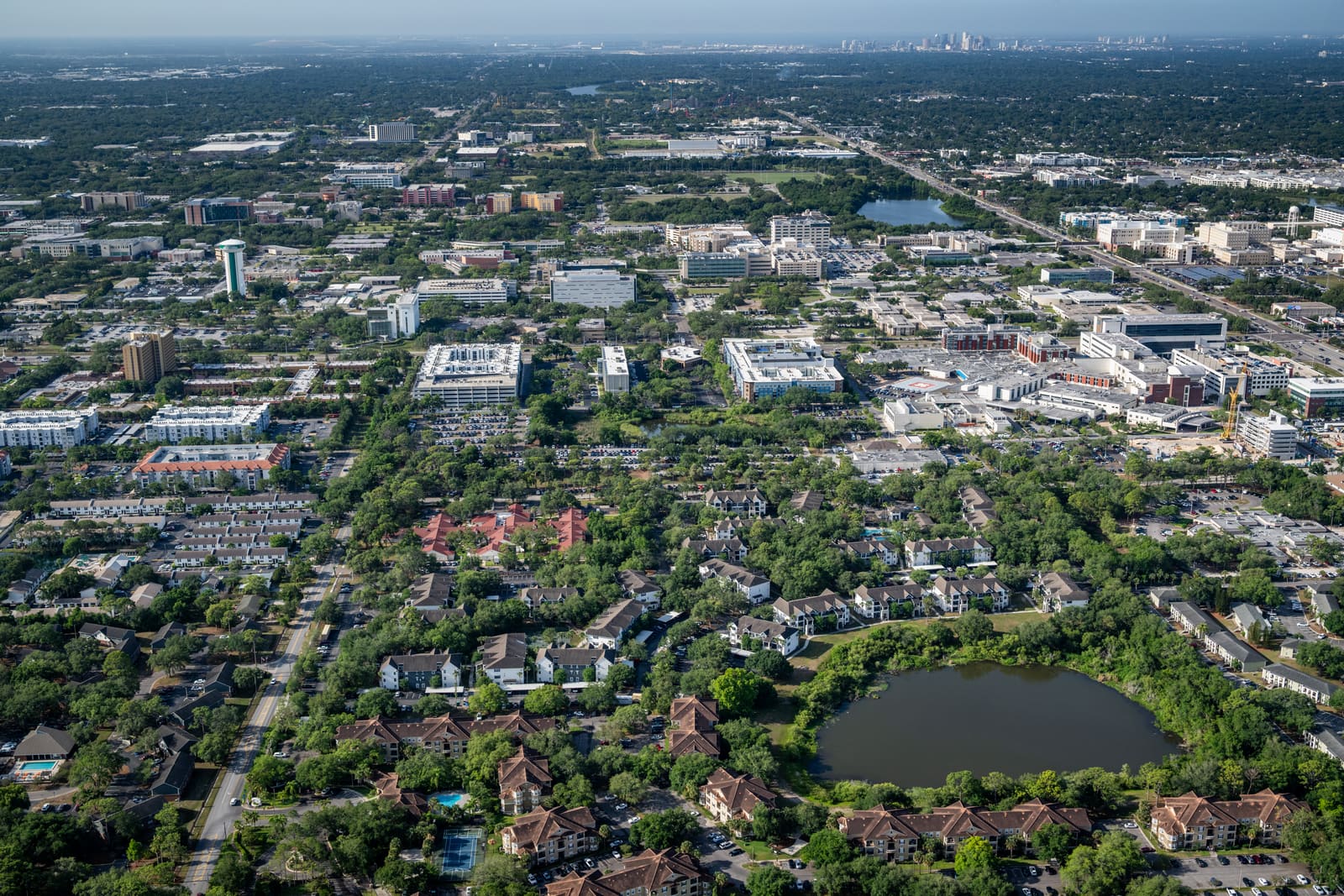
Fixed-wing, 1,500 ft
What it is for
If your project is on this list, we have shot it before. If it is not, it is still worth the call.
- Construction progress, flown on a repeating schedule from a fixed position so the set cuts together as a sequence
- Real estate and development marketing, where the context around a property is the selling point
- Large tracts of land, master-planned communities, and anything too big to read from ground level
- Site context and approach shots for planning submissions and investor material
- Annual or seasonal re-shoots of a property already in our library
What you get back
- Colour-corrected stills, ready to place. High-resolution files available upon request.
- Repeat coverage flown from matched positions when a set has to stay consistent over time
- Existing frames from our stock library where a site has been flown before
Most projects need more than one
Air and ground on the same site, booked together, shot on the same schedule.
400 ft and below
Drone imaging and videography
Our drone services offer high-resolution aerial imagery and precise data capture. From cinematic shots to technical inspections, we deliver sharp visuals 400 ft and below.
Learn more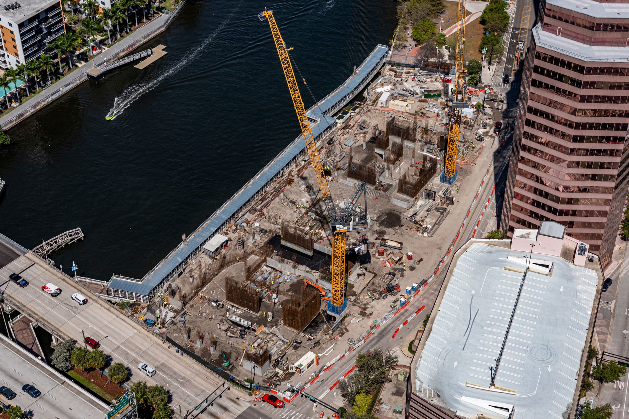
Pre-construction to completion
Construction stills and videography
We provide high-quality ground photography and video specifically for construction projects. From pre-construction documentation to in-progress site captures, we do it all.
Learn more
Tell us what you need flown
Send us the site and the timing. We will come back with a quote and the next available flight.