
Engineers
Aerial imaging for engineering firms
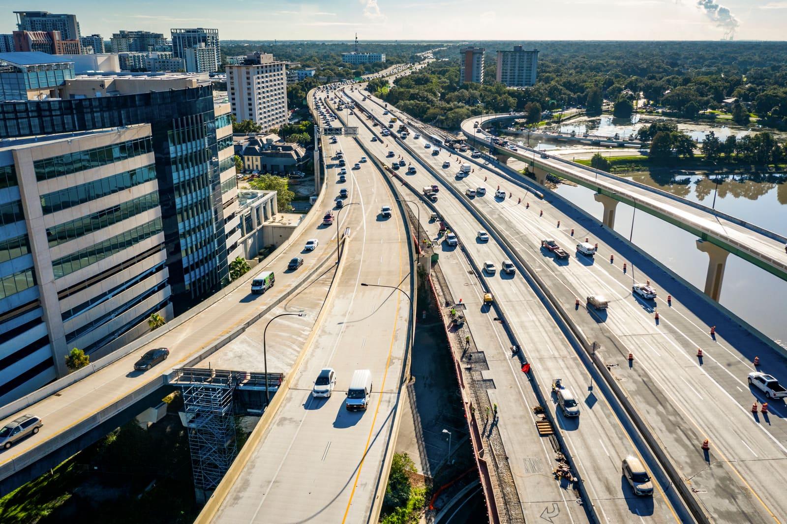
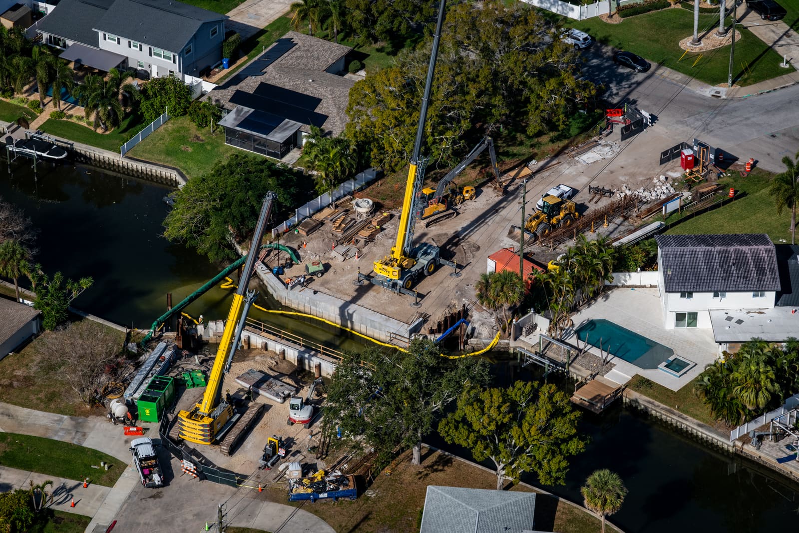
Engineers need to see a site as it is today, not as it was the last time someone visited. Current aerial and ground imagery supports design reviews and client presentations, and keeps a record of how a project took shape.
Where it earns its place
The same flight can serve several of these at once. Tell us which matter most and we will plan around them.
Existing conditions
Up-to-date overhead imagery of a site and its surroundings to inform early design work.
Design and client presentations
Visuals that place a proposal in its real context for clients, boards and the public.
Construction phase records
Periodic imagery that shows the built work taking shape against the plans.
Portfolio photography
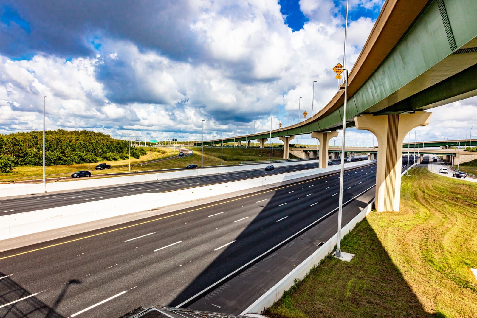
Finished-project imagery for proposals, qualifications packages and your website.
In the field
Services that fit
Most projects combine more than one. Each page covers what is included and what you get back.
- We capture high-resolution aerial imagery using fixed-wing aircraft and helicopters. Ideal for real estate marketing, construction progress, and large tracts of land, each mission is meticulously planned and flown.
Helicopter and fixed-wing
Aerial photography
- Our drone services offer high-resolution aerial imagery and precise data capture. From cinematic shots to technical inspections, we deliver sharp visuals 400 ft and below.
400 ft and below
Drone imaging
- We provide high-quality ground photography and video specifically for construction projects. From pre-construction documentation to in-progress site captures, we do it all.
Pre-construction to completion
Construction photography
- We capture polished, high-resolution images of interior and exterior spaces, ideal for showcasing architectural finishes, completed builds, and design details with clarity and style.
Interior and exterior
Ground-based imaging
Tell us what you need flown
Send us the site and the timing. We will come back with a quote and the next available flight.